
Understand Your Land from the Ground Up
Landloch’s team of Certified Professional Soil Scientists (CPSS) and Registered Soil Practitioners (RSP) delivers professional soil survey and digital mapping services across Australia. Our surveys provide the scientific information needed to support land capability assessments, environmental approvals, rehabilitation planning and sustainable land management.
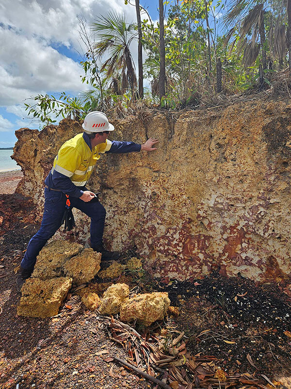
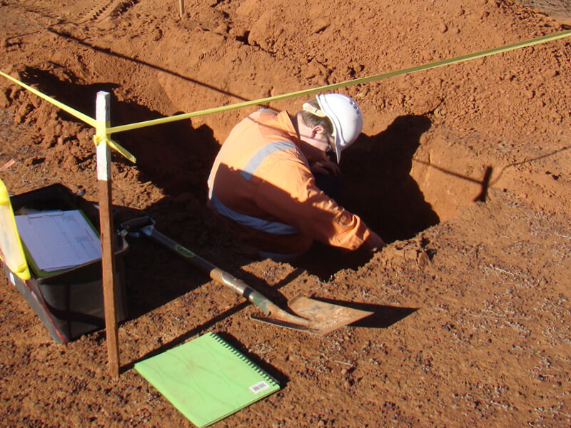
Soil survey is a key land resource assessment activity involving the systematic examination, description and mapping of soils across a project area.
Landloch considers the interaction between soils, geology, hydrology, vegetation and climate to accurately define soil boundaries and classify soils using recognised classification schemes such as the Australian Soil Classification (ASC) or Soil Groups of Western Australia (SGWA) systems. This information provides a reliable understanding of soil resources and their suitability for different land uses.
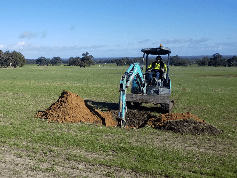
Our surveys provide practical, science-based information that helps clients make informed decisions throughout project planning, development and rehabilitation.
The information generated through our soil surveys supports a wide range of land management and environmental assessments, including:
Whether you’re planning a new development, undertaking environmental assessments or designing a rehabilitation strategy, Landloch provides accurate soil survey and digital mapping services tailored to your project’s requirements.